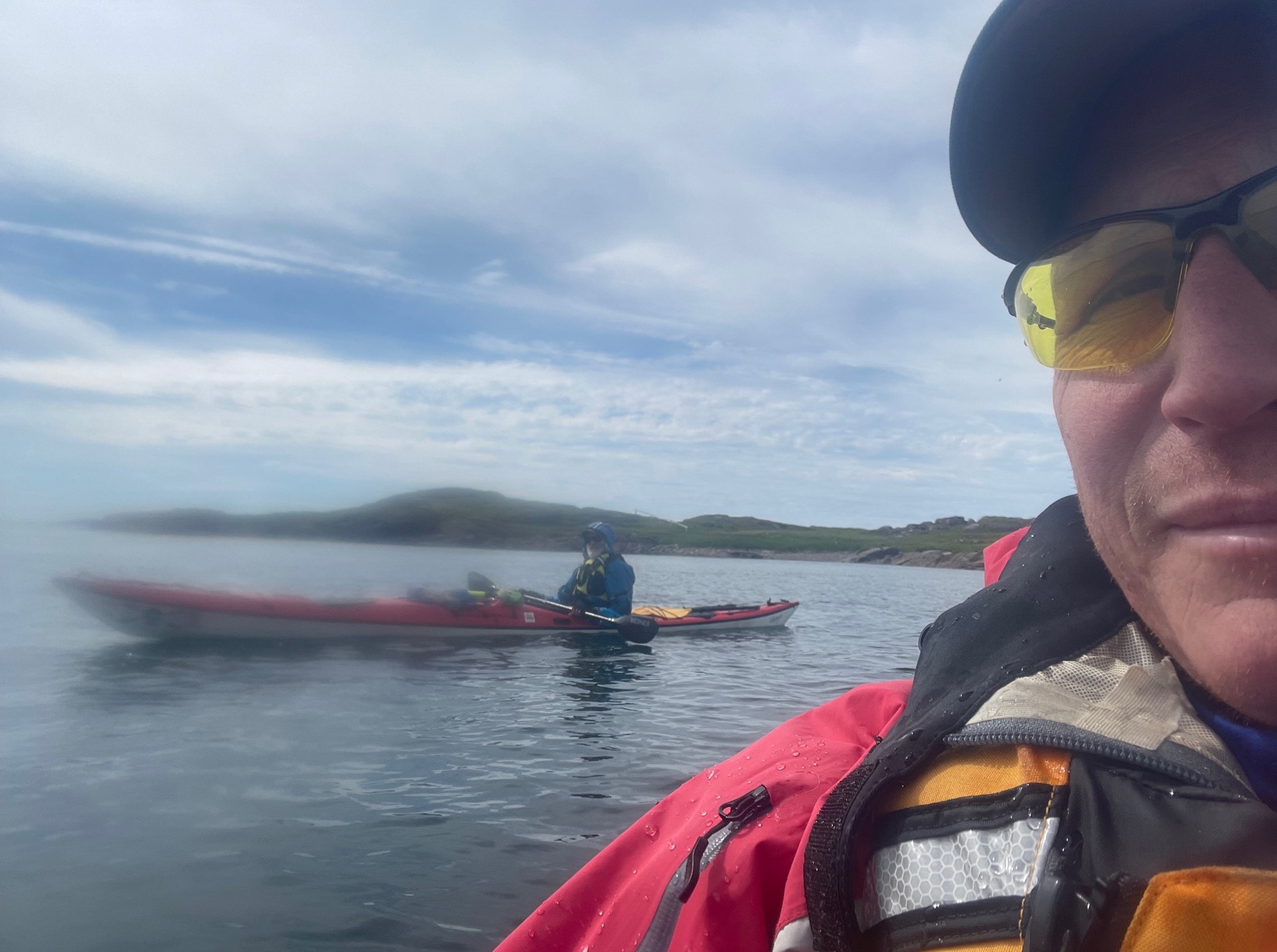
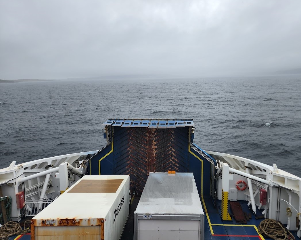
On Monday the 11th of July, Team Viking girded their loins for the final dash north up the western coast of Newfoundland to the Labrador Ferry departing from St. Barbe. Although that section of highway is no longer paved with gravel, it was still an adventure to travel at speed over pitted pavement awash with rain, all while hauling a trailer carting three big boats. We were heartened, however, by the fact that the Newfoundland 430 which we were navigating is known as “The Viking Trail.” It is so called because it stretches all the way from Deer Lake inland over the hills to the coastline of Gros Morne, following the spectacular coast of Newfoundland facing Labrador and then eventually stretching its fingers towards the Norse Settlement site at L’Anse aux Meadows. There—Good Thor willin’!—we will be ensconced next week. For the moment, however, our immediate objective was to cross the Strait of Belle Isle at its narrowest point and thus find our way into Labrador. The Strait of Belle Isle is the channel of the Gulf of Saint Lawrence which separates Newfoundland from the mainland, and is the northeastern extremity of the Saint Lawrence Seaway, a remarkable and poignant fact to a Viking of late middle age who recalls with much fondness and many advantages a youth joyously misspent on the Great Lakes…. The ferry station at St. Barbe is tiny, and the ferry itself did not seem nearly large enough for the steady diet of long-haul tractor-trailers, RVs, trucks and cars it consumes daily. This sturdy little boat that could was more than up to the task, however, and sliced through the mildly rolling waters at a jaunty pace. The crossing itself gave a preview of what was to await us on the far shore, moreover, as sheets of rain and perhaps a bit of sleet gave way to mists and fogs that shrouded the far shore almost up to the point of arrival. The shortest crossing actually takes the ferry from St. Barbe, Newfoundland, to Blanc Sablon, Quebec, which is only a short drive to the border into Labrador. This seemingly pedantic logistical factor, however, looms large when one considers that Quebec is on Eastern Time, while most of the Maritimes are on Atlantic time, except for Newfoundland and parts of Labrador, which are another half our ahead of that. So the ferry departed at 3:00 PM, and an hour and a half later, as we came into Blanc Sablon, it was 3:30 PM again. It was 4:00 PM by the time we reached the border with Labrador, at which point it immediately became 5:30 PM. Luckily Vikings carried sunstones, so they knew where the sun was even on a cloudy day. Sort of like GPS is in our own age, such technology is useful for navigation in conditions such as we encountered, not to mention the fact that historically the Vikings are said to have been notoriously unconcerned regarding local time zones….
Follow along on our ongoing adventures in ten-minute intervals via this link:
https://share.garmin.com/IntheWakeoftheVikingsCFee
https://www.science.org/content/article/viking-sunstone-revealed
